
Thank you for supporting this site ❤️
Make a donation
Make a donation
Trail Creek topographic map
Click on the map to display elevation.
Thank you for supporting this site ❤️
Make a donation
Make a donation
About this map
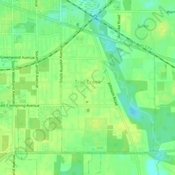
Name: Trail Creek topographic map, elevation, terrain.
Location: Trail Creek, LaPorte County, Indiana, United States (41.68737 -86.86479 41.70750 -86.84522)
Average elevation: 194 m
Minimum elevation: 183 m
Maximum elevation: 201 m
Thank you for supporting this site ❤️
Make a donation
Make a donation
Other topographic maps
Click on a map to view its topography, its elevation and its terrain.