
Al Dabbah topographic map
Interactive map
Click on the map to display elevation.
About this map
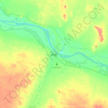
Name: Al Dabbah topographic map, elevation, terrain.
Location: Al Dabbah, Northern State, Sudan (17.88399 30.79119 18.20399 31.11119)
Average elevation: 263 m
Minimum elevation: 229 m
Maximum elevation: 324 m