Geolocate
👉 Easily get elevation data in JSON, GeoTIFF and KML formats using Elevation API
Thank you for supporting this site ❤️
Make a donation

Bucks Mill topographic map

Click on the map to display elevation.

👉 Easily get elevation data in JSON, GeoTIFF and KML formats using Elevation API
Thank you for supporting this site ❤️
Make a donation

About this map

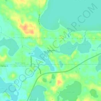
Name: Bucks Mill topographic map, elevation, terrain.

Location: Bucks Mill, Becker County, Minnesota, United States (46.70301 -95.93505 46.74301 -95.89505)

Average elevation: 410 m

Minimum elevation: 397 m

Maximum elevation: 436 m

Other topographic maps

Click on a map to view its topography, its elevation and its terrain.

Callaway

United States > Minnesota > Becker County

Average elevation: 419 m

Elbow Lake

United States > Minnesota > Becker County

Average elevation: 478 m

Frazee

United States > Minnesota > Becker County

Average elevation: 424 m

Toad Lake

United States > Minnesota > Becker County

Average elevation: 464 m