
Thank you for supporting this site ❤️
Make a donation
Make a donation
Ferdjioua topographic map
Click on the map to display elevation.
Thank you for supporting this site ❤️
Make a donation
Make a donation
About this map
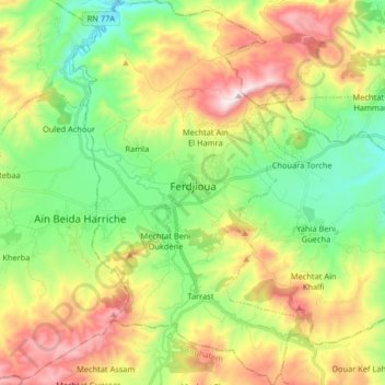
Name: Ferdjioua topographic map, elevation, terrain.
Location: Ferdjioua, Ferdjioua District, Mila, Algeria (36.33916 5.89092 36.47030 5.99290)
Average elevation: 654 m
Minimum elevation: 334 m
Maximum elevation: 1,145 m
Thank you for supporting this site ❤️
Make a donation
Make a donation