
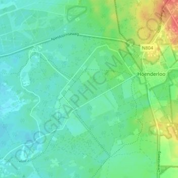
Hoenderloo topographic map
Interactive map
Click on the map to display elevation.
About this map
Name: Hoenderloo topographic map, elevation, terrain.
Location: Hoenderloo, Ede, Gueldre, Pays-Bas (52.09452 5.82695 52.13378 5.89379)
Average elevation: 47 m
Minimum elevation: 34 m
Maximum elevation: 79 m
Other topographic maps
Click on a map to view its topography, its elevation and its terrain.