
Pass Gschütt topographic map
Interactive map
Click on the map to display elevation.
About this map
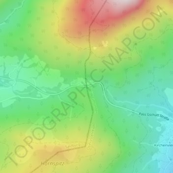
Name: Pass Gschütt topographic map, elevation, terrain.
Average elevation: 1,041 m
Minimum elevation: 742 m
Maximum elevation: 1,517 m
Fehlerhafte Beschriftung an der Passhöhe, Blickrichtung Ost.