
Thank you for supporting this site ❤️
Make a donation
Make a donation
Sheff topographic map
Click on the map to display elevation.
Thank you for supporting this site ❤️
Make a donation
Make a donation
About this map
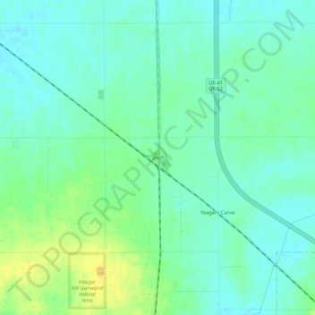
Name: Sheff topographic map, elevation, terrain.
Location: Sheff, Benton County, Indiana, 47942, United States (40.68559 -87.46919 40.72559 -87.42919)
Average elevation: 232 m
Minimum elevation: 223 m
Maximum elevation: 250 m
Thank you for supporting this site ❤️
Make a donation
Make a donation
Other topographic maps
Click on a map to view its topography, its elevation and its terrain.