
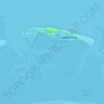
Wangerooge topographic map
Interactive map
Click on the map to display elevation.
About this map
Name: Wangerooge topographic map, elevation, terrain.
Location: Wangerooge, Frise (arrondissement), Basse-Saxe, 26486, Allemagne (53.74149 7.84662 53.79456 8.03030)
Average elevation: 0 m
Minimum elevation: -3 m
Maximum elevation: 11 m