
Thank you for supporting this site ❤️
Make a donation
Make a donation
Lagro topographic map
Click on the map to display elevation.
Thank you for supporting this site ❤️
Make a donation
Make a donation
About this map
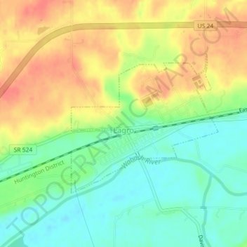
Name: Lagro topographic map, elevation, terrain.
Location: Lagro, Wabash County, Indiana, United States (40.83120 -85.73783 40.84646 -85.71658)
Average elevation: 227 m
Minimum elevation: 201 m
Maximum elevation: 254 m
Thank you for supporting this site ❤️
Make a donation
Make a donation
Other topographic maps
Click on a map to view its topography, its elevation and its terrain.