
Thank you for supporting this site ❤️
Make a donation
Make a donation
Luthe topographic map
Click on the map to display elevation.
Thank you for supporting this site ❤️
Make a donation
Make a donation
About this map
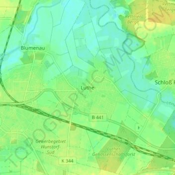
Name: Luthe topographic map, elevation, terrain.
Location: Luthe, Wunstorf, Region Hannover, Nedersaksen, Duitsland (52.40704 9.45270 52.44704 9.49270)
Average elevation: 46 m
Minimum elevation: 37 m
Maximum elevation: 56 m
Thank you for supporting this site ❤️
Make a donation
Make a donation
Other topographic maps
Click on a map to view its topography, its elevation and its terrain.