
Bantuanon topographic map
Click on the map to display elevation.
About this map
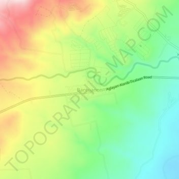
Name: Bantuanon topographic map, elevation, terrain.
Location: Bantuanon, Lantapan, Bukidnon, Northern Mindanao, Philippines (7.99442 125.05376 8.03442 125.09376)
Average elevation: 492 m
Minimum elevation: 349 m
Maximum elevation: 689 m
Other topographic maps
Click on a map to view its topography, its elevation and its terrain.