
Thank you for supporting this site ❤️
Make a donation
Make a donation
Rampayan Ulu topographic map
Click on the map to display elevation.
Thank you for supporting this site ❤️
Make a donation
Make a donation
About this map
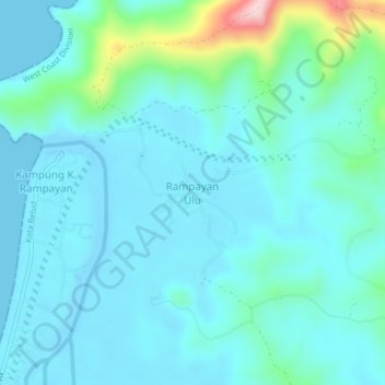
Name: Rampayan Ulu topographic map, elevation, terrain.
Location: Rampayan Ulu, Kota Belud, West Coast Division, Sabah, Malaysia (6.50158 116.49763 6.54158 116.53763)
Average elevation: 39 m
Minimum elevation: -5 m
Maximum elevation: 261 m
Thank you for supporting this site ❤️
Make a donation
Make a donation
Other topographic maps
Click on a map to view its topography, its elevation and its terrain.
Thank you for supporting this site ❤️
Make a donation
Make a donation
Thank you for supporting this site ❤️
Make a donation
Make a donation