
Bodhgaya topographic map
Interactive map
Click on the map to display elevation.
About this map
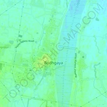
Name: Bodhgaya topographic map, elevation, terrain.
Location: Bodhgaya, Bodh Gaya, Gaya, Bihar, India (24.68325 84.97141 24.71470 84.99961)
Average elevation: 121 m
Minimum elevation: 116 m
Maximum elevation: 127 m
Other topographic maps
Click on a map to view its topography, its elevation and its terrain.