
Thank you for supporting this site ❤️
Make a donation
Make a donation
San Cristobal topographic map
Click on the map to display elevation.
Thank you for supporting this site ❤️
Make a donation
Make a donation
About this map
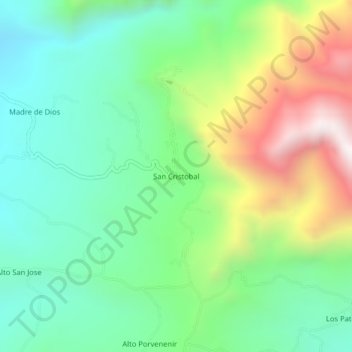
Name: San Cristobal topographic map, elevation, terrain.
Location: San Cristobal, Cajaruro, Utcubamba, Amazonas, Perú (-5.86134 -78.20938 -5.82134 -78.16938)
Average elevation: 1,175 m
Minimum elevation: 789 m
Maximum elevation: 1,946 m
Thank you for supporting this site ❤️
Make a donation
Make a donation