
Thank you for supporting this site ❤️
Make a donation
Make a donation
Gözköy topographic map
Click on the map to display elevation.
Thank you for supporting this site ❤️
Make a donation
Make a donation
About this map
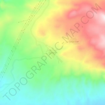
Name: Gözköy topographic map, elevation, terrain.
Location: Gözköy, Suşehri, Sivas, Central Anatolia Region, Turkey (40.18519 38.12791 40.22519 38.16791)
Average elevation: 1,167 m
Minimum elevation: 929 m
Maximum elevation: 1,490 m
Thank you for supporting this site ❤️
Make a donation
Make a donation