
Charleville topographic map
Click on the map to display elevation.
About this map
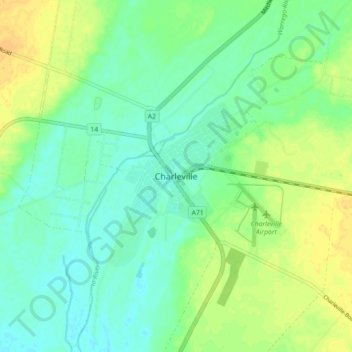
Name: Charleville topographic map, elevation, terrain.
Location: Charleville, Queensland, 4470, Australia (-26.44627 146.20204 -26.36627 146.28204)
Average elevation: 301 m
Minimum elevation: 291 m
Maximum elevation: 315 m