
Radnor Township topographic map
Interactive map
Click on the map to display elevation.
About this map
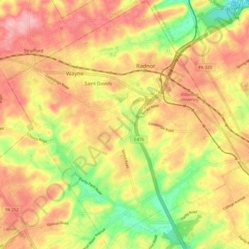
Name: Radnor Township topographic map, elevation, terrain.
Location: Radnor Township, Delaware County, Pennsylvania, USA (39.99024 -75.41498 40.06630 -75.32069)
Average elevation: 116 m
Minimum elevation: 40 m
Maximum elevation: 171 m