
Wateren topographic map
Interactive map
Click on the map to display elevation.
About this map
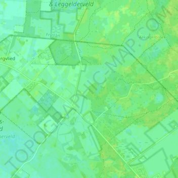
Name: Wateren topographic map, elevation, terrain.
Location: Wateren, Westerveld, Drenthe, Nederland (52.90125 6.25391 52.92729 6.32682)
Average elevation: 10 m
Minimum elevation: 4 m
Maximum elevation: 14 m