
Rudersdorf topographic map
Interactive map
Click on the map to display elevation.
About this map
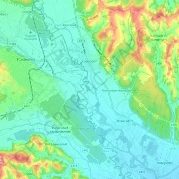
Name: Rudersdorf topographic map, elevation, terrain.
Location: Rudersdorf, Jennersdorf, Burgenland, 7571, Österreich (46.99757 16.09685 47.07594 16.16598)
Average elevation: 271 m
Minimum elevation: 231 m
Maximum elevation: 392 m