
Thank you for supporting this site ❤️
Make a donation
Make a donation
Rangeley topographic map
Click on the map to display elevation.
Thank you for supporting this site ❤️
Make a donation
Make a donation
About this map
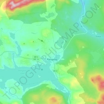
Name: Rangeley topographic map, elevation, terrain.
Location: Rangeley, Franklin County, Maine, 04970, United States (44.92186 -70.82375 45.03078 -70.62792)
Average elevation: 549 m
Minimum elevation: 420 m
Maximum elevation: 1,022 m
Thank you for supporting this site ❤️
Make a donation
Make a donation