
Cerro Chiquihuite topographic map
Interactive map
Click on the map to display elevation.
About this map
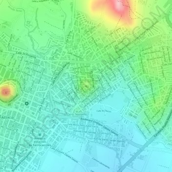
Name: Cerro Chiquihuite topographic map, elevation, terrain.
Location: Cerro Chiquihuite, Atlixco, Puebla, 74260, México (18.91377 -98.42475 18.91387 -98.42465)
Average elevation: 1,855 m
Minimum elevation: 1,801 m
Maximum elevation: 1,999 m