
Thank you for supporting this site ❤️
Make a donation
Make a donation
Coral Springs topographic map
Click on the map to display elevation.
Thank you for supporting this site ❤️
Make a donation
Make a donation
About this map
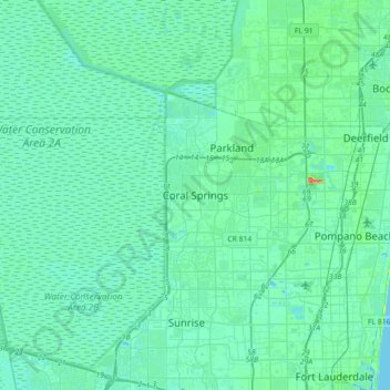
Name: Coral Springs topographic map, elevation, terrain.
Location: Coral Springs, Broward County, Florida, 33065, United States (26.11119 -80.43060 26.43119 -80.11060)
Average elevation: 6 m
Minimum elevation: -3 m
Maximum elevation: 43 m
Thank you for supporting this site ❤️
Make a donation
Make a donation