
Thank you for supporting this site ❤️
Make a donation
Make a donation
Chagres topographic map
Click on the map to display elevation.
Thank you for supporting this site ❤️
Make a donation
Make a donation
About this map
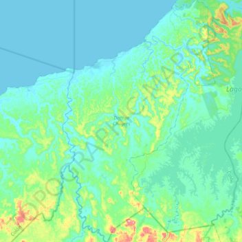
Name: Chagres topographic map, elevation, terrain.
Location: Chagres, Colón, Panama (8.94872 -80.20436 9.29239 -79.98621)
Average elevation: 48 m
Minimum elevation: -2 m
Maximum elevation: 336 m
Thank you for supporting this site ❤️
Make a donation
Make a donation
Other topographic maps
Click on a map to view its topography, its elevation and its terrain.
Thank you for supporting this site ❤️
Make a donation
Make a donation
Thank you for supporting this site ❤️
Make a donation
Make a donation