
Thank you for supporting this site ❤️
Make a donation
Make a donation
Brønnerud topographic map
Click on the map to display elevation.
Thank you for supporting this site ❤️
Make a donation
Make a donation
About this map
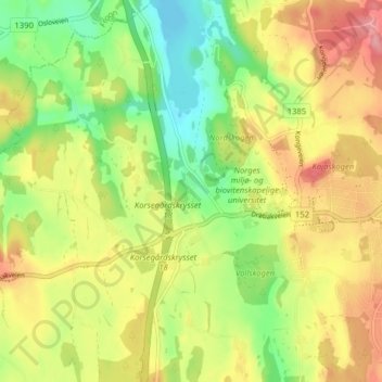
Name: Brønnerud topographic map, elevation, terrain.
Location: Brønnerud, Ås, Viken, 1433, Norway (59.64723 10.73014 59.68723 10.77014)
Average elevation: 82 m
Minimum elevation: 32 m
Maximum elevation: 135 m
Thank you for supporting this site ❤️
Make a donation
Make a donation