
Tỉnh Thanh Hóa topographic map
Interactive map
Click on the map to display elevation.
About this map
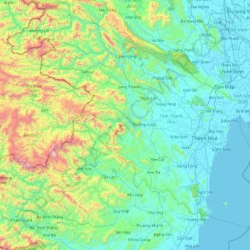
Name: Tỉnh Thanh Hóa topographic map, elevation, terrain.
Location: Tỉnh Thanh Hóa, Vietnam (19.12077 104.37595 20.67067 106.14924)
Average elevation: 347 m
Minimum elevation: -3 m
Maximum elevation: 2,318 m