
Phan Rang–Tháp Chàm topographic map
Interactive map
Click on the map to display elevation.
About this map
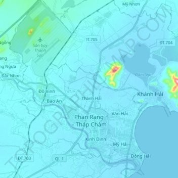
Name: Phan Rang–Tháp Chàm topographic map, elevation, terrain.
Location: Phan Rang–Tháp Chàm, Ninh Thuận, Vietnam (11.53009 108.91895 11.67519 109.03516)
Average elevation: 13 m
Minimum elevation: -1 m
Maximum elevation: 329 m