
Kihamba topographic map
Interactive map
Click on the map to display elevation.
About this map
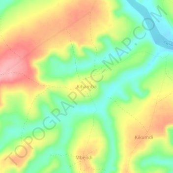
Name: Kihamba topographic map, elevation, terrain.
Location: Kihamba, Kwilu, Democratic Republic of the Congo (-4.70480 18.69068 -4.66480 18.73068)
Average elevation: 399 m
Minimum elevation: 339 m
Maximum elevation: 469 m