
Ngazi topographic map
Interactive map
Click on the map to display elevation.
About this map
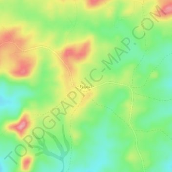
Name: Ngazi topographic map, elevation, terrain.
Location: Ngazi, Meiganga, Mbéré, Région de l'Adamaoua, Cameroun (6.54781 14.57680 6.58781 14.61680)
Average elevation: 987 m
Minimum elevation: 936 m
Maximum elevation: 1,056 m