
Kuchera topographic map
Click on the map to display elevation.
About this map
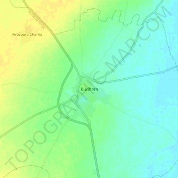
Name: Kuchera topographic map, elevation, terrain.
Location: Kuchera, Mundwa Tehsil, Nagaur, Rajasthan, India (26.94618 73.93273 27.02618 74.01273)
Average elevation: 312 m
Minimum elevation: 303 m
Maximum elevation: 323 m