
Rio Chico topographic map
Click on the map to display elevation.
About this map
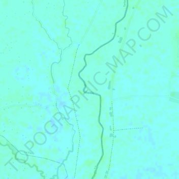
Name: Rio Chico topographic map, elevation, terrain.
Location: Rio Chico, La Paz, Nueva Ecija, Central Luzon, Philippines (15.37561 120.74177 15.38270 120.74524)
Average elevation: 15 m
Minimum elevation: 12 m
Maximum elevation: 18 m