
Thank you for supporting this site ❤️
Make a donation
Make a donation
San Germano Vercellese topographic map
Click on the map to display elevation.
Thank you for supporting this site ❤️
Make a donation
Make a donation
About this map
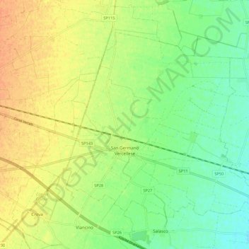
Name: San Germano Vercellese topographic map, elevation, terrain.
Location: San Germano Vercellese, Vercelli, Piedmont, 13047, Italy (45.32969 8.21017 45.38602 8.31786)
Average elevation: 163 m
Minimum elevation: 145 m
Maximum elevation: 180 m
Thank you for supporting this site ❤️
Make a donation
Make a donation
Other topographic maps
Click on a map to view its topography, its elevation and its terrain.