
Vellerat topographic map
Interactive map
Click on the map to display elevation.
About this map
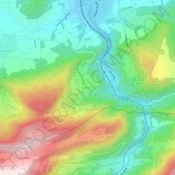
Name: Vellerat topographic map, elevation, terrain.
Location: Vellerat, Courrendlin, District de Delémont, Jura, 2830, Suisse (47.29912 7.35102 47.33912 7.39102)
Average elevation: 686 m
Minimum elevation: 435 m
Maximum elevation: 1,128 m