
Thank you for supporting this site ❤️
Make a donation
Make a donation
Ned topographic map
Click on the map to display elevation.
Thank you for supporting this site ❤️
Make a donation
Make a donation
About this map
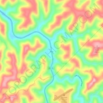
Name: Ned topographic map, elevation, terrain.
Location: Ned, Breathitt County, Kentucky, 41736, United States (37.38843 -83.29073 37.42843 -83.25073)
Average elevation: 342 m
Minimum elevation: 242 m
Maximum elevation: 445 m
Thank you for supporting this site ❤️
Make a donation
Make a donation