
Make a donation
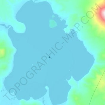
Kurile Lake topographic map
Click on the map to display elevation.
Make a donation
Kurile Lake
Kurile Lake is formed by two basins, which are separated by a 150-metre-wide (490 ft) subaqueous ridge. The center part of the lake is formed by a flat basin; canyons cut into the slopes of the western side of the lake, where the Ozernaya and Kumnynk rivers open into the lake. The Etamynk and Khakytsin rivers conversely have formed an alluvial fan. The maximum depth of the lake is 316 metres (1,037 ft), with an average depth of 195 metres (640 ft) or 180 metres (590 ft). Since the surface elevation is 81 metres (266 ft), this lake hosts a cryptodepression of 235 metres (771 ft).
Make a donation
About this map
Name: Kurile Lake topographic map, elevation, terrain.
Average elevation: 175 m
Minimum elevation: 75 m
Maximum elevation: 1,450 m
Make a donation