
Thank you for supporting this site ❤️
Make a donation
Make a donation
Kande topographic map
Click on the map to display elevation.
Thank you for supporting this site ❤️
Make a donation
Make a donation
About this map
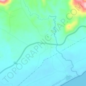
Name: Kande topographic map, elevation, terrain.
Location: Kande, Nkhata Bay, Northern Region, Malawi, Malawi (-11.95609 34.08731 -11.91609 34.12731)
Average elevation: 512 m
Minimum elevation: 475 m
Maximum elevation: 689 m
Thank you for supporting this site ❤️
Make a donation
Make a donation