
Thank you for supporting this site ❤️
Make a donation
Make a donation
Drogeham topographic map
Click on the map to display elevation.
Thank you for supporting this site ❤️
Make a donation
Make a donation
About this map
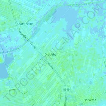
Name: Drogeham topographic map, elevation, terrain.
Location: Drogeham, Achtkarspelen, Friesland, Nederland (53.18204 6.08121 53.22276 6.14747)
Average elevation: 2 m
Minimum elevation: -4 m
Maximum elevation: 7 m
Thank you for supporting this site ❤️
Make a donation
Make a donation
Other topographic maps
Click on a map to view its topography, its elevation and its terrain.