
Thank you for supporting this site ❤️
Make a donation
Make a donation
San Luis topographic map
Click on the map to display elevation.
Thank you for supporting this site ❤️
Make a donation
Make a donation
About this map
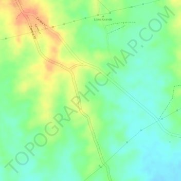
Name: San Luis topographic map, elevation, terrain.
Location: San Luis, Sincé, Montes de María, Sucre, Colombia (9.20912 -75.13928 9.22912 -75.11928)
Average elevation: 105 m
Minimum elevation: 84 m
Maximum elevation: 130 m
Thank you for supporting this site ❤️
Make a donation
Make a donation