
Thank you for supporting this site ❤️
Make a donation
Make a donation
Bibkheda topographic map
Click on the map to display elevation.
Thank you for supporting this site ❤️
Make a donation
Make a donation
About this map
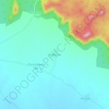
Name: Bibkheda topographic map, elevation, terrain.
Location: Bibkheda, Kannad, Aurangabad, Maharashtra, India (20.19284 74.96360 20.23284 75.00360)
Average elevation: 649 m
Minimum elevation: 600 m
Maximum elevation: 815 m
Thank you for supporting this site ❤️
Make a donation
Make a donation