
Béni Ounif topographic map
Interactive map
Click on the map to display elevation.
About this map
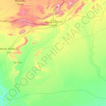
Name: Béni Ounif topographic map, elevation, terrain.
Location: Béni Ounif, Daïra de Béni Ounif, Béchar, 08100, Algérie (30.70166 -1.92681 32.41655 0.38387)
Average elevation: 825 m
Minimum elevation: 516 m
Maximum elevation: 2,173 m