
Thank you for supporting this site ❤️
Make a donation
Make a donation
Ragley topographic map
Click on the map to display elevation.
Thank you for supporting this site ❤️
Make a donation
Make a donation
About this map
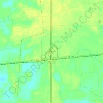
Name: Ragley topographic map, elevation, terrain.
Location: Ragley, Beauregard Parish, Louisiana, United States (30.49270 -93.25238 30.53270 -93.21238)
Average elevation: 25 m
Minimum elevation: 14 m
Maximum elevation: 32 m
Thank you for supporting this site ❤️
Make a donation
Make a donation
Other topographic maps
Click on a map to view its topography, its elevation and its terrain.