
Thank you for supporting this site ❤️
Make a donation
Make a donation
Pachacoto topographic map
Click on the map to display elevation.
Thank you for supporting this site ❤️
Make a donation
Make a donation
About this map
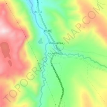
Name: Pachacoto topographic map, elevation, terrain.
Location: Pachacoto, Shiqui, Cátac, Recuay, Áncash, Perú (-9.87226 -77.42678 -9.83226 -77.38678)
Average elevation: 3,846 m
Minimum elevation: 3,623 m
Maximum elevation: 4,105 m
Thank you for supporting this site ❤️
Make a donation
Make a donation