
Thank you for supporting this site ❤️
Make a donation
Make a donation
Nile topographic map
Click on the map to display elevation.
Thank you for supporting this site ❤️
Make a donation
Make a donation
About this map
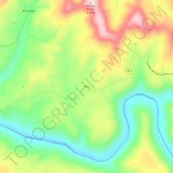
Name: Nile topographic map, elevation, terrain.
Location: Nile, Nicholas County, West Virginia, United States (38.28455 -80.75510 38.32455 -80.71510)
Average elevation: 645 m
Minimum elevation: 502 m
Maximum elevation: 840 m
Thank you for supporting this site ❤️
Make a donation
Make a donation
Other topographic maps
Click on a map to view its topography, its elevation and its terrain.