
Erfa topographic map
Interactive map
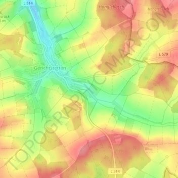
Click on the map to display elevation.
About this map
Name: Erfa topographic map, elevation, terrain.
Average elevation: 369 m
Minimum elevation: 320 m
Maximum elevation: 405 m
Other topographic maps
Click on a map to view its topography, its elevation and its terrain.
Grund
Deutschland > Baden-Württemberg > Hardheim
Grund, Hardheim, Verwaltungsverband Hardheim-Walldürn, Neckar-Odenwald-Kreis, Baden-Württemberg, 74763, Deutschland
Average elevation: 364 m
Grund
Deutschland > Baden-Württemberg > Hardheim
Grund, Hardheim, Verwaltungsverband Hardheim-Walldürn, Neckar-Odenwald-Kreis, Regierungsbezirk Karlsruhe, Baden-Württemberg, 74736, Deutschland
Average elevation: 350 m