
Cerro Prieto topographic map
Interactive map
Click on the map to display elevation.
About this map
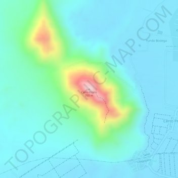
Name: Cerro Prieto topographic map, elevation, terrain.
Location: Cerro Prieto, Salas, Ica, 11500, Pérou (-13.99760 -75.78962 -13.99750 -75.78952)
Average elevation: 479 m
Minimum elevation: 419 m
Maximum elevation: 735 m
Other topographic maps
Click on a map to view its topography, its elevation and its terrain.