
Socorro topographic map
Click on the map to display elevation.
About this map
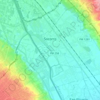
Name: Socorro topographic map, elevation, terrain.
Location: Socorro, El Paso County, Texas, 79927, United States (31.59427 -106.31145 31.68977 -106.18072)
Average elevation: 1,127 m
Minimum elevation: 1,106 m
Maximum elevation: 1,214 m