
Thank you for supporting this site ❤️
Make a donation
Make a donation
New Weston topographic map
Click on the map to display elevation.
Thank you for supporting this site ❤️
Make a donation
Make a donation
About this map
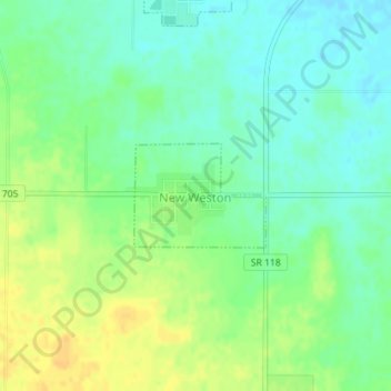
Name: New Weston topographic map, elevation, terrain.
Location: New Weston, Darke County, Ohio, United States (40.33381 -84.64884 40.34101 -84.63688)
Average elevation: 307 m
Minimum elevation: 295 m
Maximum elevation: 322 m
Thank you for supporting this site ❤️
Make a donation
Make a donation
Other topographic maps
Click on a map to view its topography, its elevation and its terrain.