
Thank you for supporting this site ❤️
Make a donation
Make a donation
Roanoke River topographic map
Click on the map to display elevation.
Thank you for supporting this site ❤️
Make a donation
Make a donation
About this map
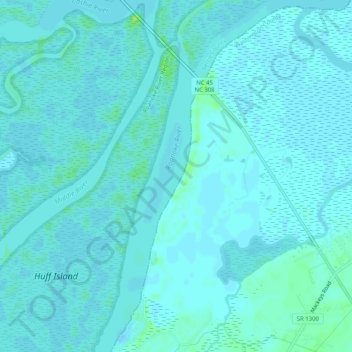
Name: Roanoke River topographic map, elevation, terrain.
Location: Roanoke River, Bertie County, North Carolina, 27962, USA (35.88276 -76.73612 35.92384 -76.70654)
Average elevation: 2 m
Minimum elevation: -1 m
Maximum elevation: 13 m
Thank you for supporting this site ❤️
Make a donation
Make a donation
Other topographic maps
Click on a map to view its topography, its elevation and its terrain.