
Magurang topographic map
Click on the map to display elevation.
About this map
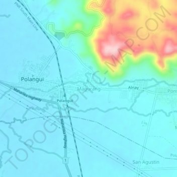
Name: Magurang topographic map, elevation, terrain.
Location: Magurang, Polangui, Albay, Bicol Region, 4506, Philippines (13.27160 123.47750 13.31160 123.51750)
Average elevation: 58 m
Minimum elevation: 19 m
Maximum elevation: 236 m