
Fresno topographic map
Click on the map to display elevation.
About this map
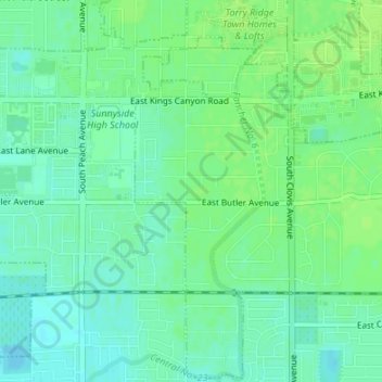
Name: Fresno topographic map, elevation, terrain.
Location: Fresno, Fresno County, California, United States (36.72845 -119.70935 36.73044 -119.70836)
Average elevation: 98 m
Minimum elevation: 92 m
Maximum elevation: 102 m