Geolocate
👉 Easily get elevation data in JSON, GeoTIFF and KML formats using Elevation API
Thank you for supporting this site ❤️
Make a donation

Moonlight topographic map

Click on the map to display elevation.

👉 Easily get elevation data in JSON, GeoTIFF and KML formats using Elevation API
Thank you for supporting this site ❤️
Make a donation

About this map

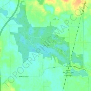
Name: Moonlight topographic map, elevation, terrain.

Location: Moonlight, Steuben County, Indiana, 46779, United States (41.56449 -85.05108 41.60449 -85.01108)

Average elevation: 297 m

Minimum elevation: 285 m

Maximum elevation: 322 m

Other topographic maps

Click on a map to view its topography, its elevation and its terrain.

Angola

United States > Indiana > Steuben County

Average elevation: 315 m

Ashley

United States > Indiana > Steuben County

Average elevation: 303 m

Fremont

United States > Indiana > Steuben County

Average elevation: 320 m

Angola

United States > Indiana > Steuben County

Average elevation: 315 m

Hamilton

United States > Indiana > Steuben County > Hamilton

Average elevation: 283 m